Blog 3 : The City: Urban Architecture and Material Culture. Technology takeover

Daniel Cremen – 115140221

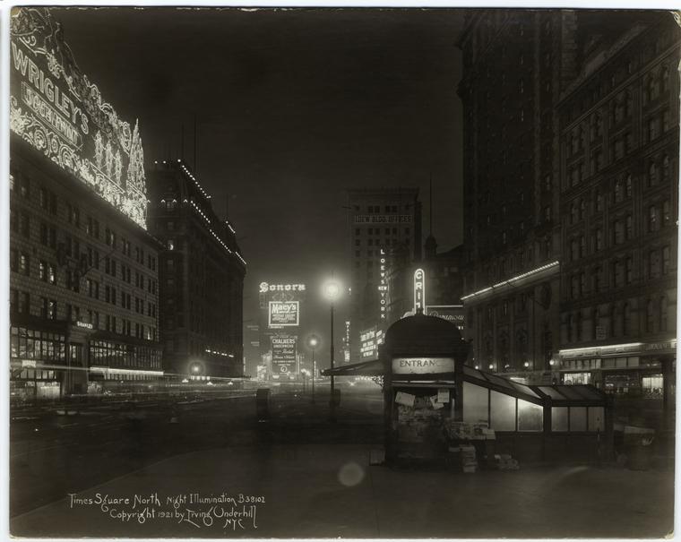
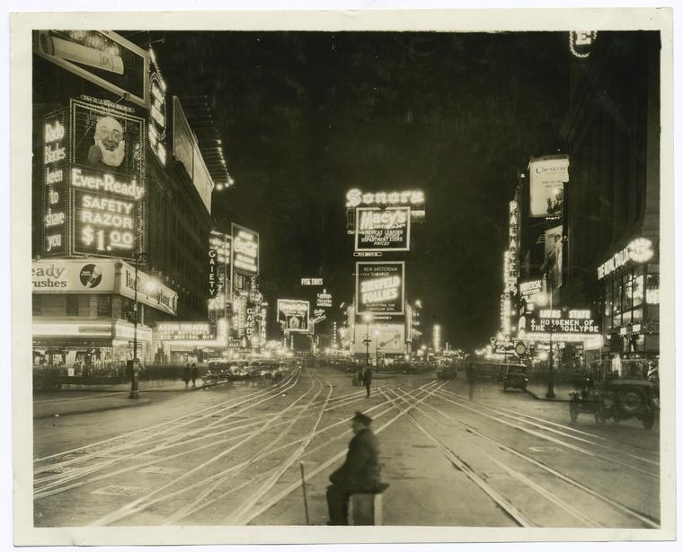
Our material culture really defines modernity in the city in which we live in today. People of all demographics are contributing factors to the takeover of technology which is socially and physically shaping the city in which we live in today.

I believe we are entering a world where our technology is moving so fast we don’t even realise it. The younger generation today even little kids are surrounded by touch screens and automated everything. The social side of how the city functions has changed significantly. The material culture of how important technology is to us is becoming widely known even to people with no interest in the subject matter. It is widely known today that the Underground ‘Tube’ in London, a key aspect of city living in London, has become famous for its lack of social interactions. Everybody is on their phone.  Jokes are even made in a sort of sarcastic manner about how if there was to be social interactions it would be out of the ordinary which if you think about it, is crazy! This is modernity in todays world.

Even at my age, 21, we watched movies as young kids about the future where they have unrealistic technologies in the city but in fact some of this is becoming reality. This can be summed up in one video online in which a young kid tries to swipe on a magazine and can’t seem to comprehend that the content isn’t moving when she tries to swipe it, like which would usually happen if she was using an iPad or tablet computer. Kids are so used to modern technology like in this case the IPad or tablet computers that items like magazines are non-existent/ alien to them. (source video: https://www.youtube.com/watch?v=aXV-yaFmQNk)


This domination of technology is only beginning and does and will continue to dramatically change how both the social and physical composition of the city is shaped and formed for years to come.


Daniel Cremen – 115140221

Urban Architecture of Religious Structures

Finbarr O’Brien 113386651

In this blog post I will discuss the urban architecture and material culture of religious edifices. I will examine the ways in which these features demonstrate the power of the religious entity they represent, in the context of the time period of their construction. For the purpose of this blog I will focus primarily on St Patricks Church, situated on Lower Glanmire Rd.

Construction of the church began in the early 1800s. At this time the process of Catholic emancipation in Ireland was close to completion, and the strength of the Catholic Church was reaching an apex. The architectural design of the church is a representation of its new found position of power in Irish society. A highly imposing building, St Patrick’s church dominates the landscape of lower glanmire road. The broad, concrete columns holding up the building are a symbol of strength and stability.

Displaying IMG_20161114_191911303.jpg
Outside view of St Patricks Church

The mural behind the alter depicting the last supper of Christ is iconographic image designed to elicit emotions of reverence for those inside the church. Rather than being positioned at eye level, it is located some 15-20 feet above the floor meaning that spectators are forced to look upwards at it. This, coupled with the mural’s intricate detail makes for a highly imposing piece. It is a clear example of how material culture was used in order to influence society’s perception of religious entities.

Displaying IMG_20161117_154656235.jpg
Mural depicting the last supper of Christ above the church’s alter

It is quite clear up on detailed analysis of the edifice that both urban architecture and material culture are used extensively to convey messages and elicit emotions among church goers. This manipulation strategy is not limited solely to the Catholic Church. The implementation of these features are a consistent trait found in all types of religious architecture.

Illumination Trasformation in New York City

Daniel Cremen – 115140221

 Picturing the City – illumination transformation

Towards the end of the 18th century and start of 19th century the illumination of the city would have dramatic changes to how society acted at night and it changed people’s perception of this time of the day. It gave a completely new perception to people as the light allowed for a different perspective of how people should or shouldn’t act in the city at this time. This then would have knock-on effects for the activities taking place in the city at other times of the day as a consequence.

It was impossible to find a good picture of the city before it was illuminated at night and that got me thinking about why that was, which in effect, portrayed to me how the night time was viewed by the regular person. People wouldn’t venture out at night, especially not to take pictures. The night time was associated with crime and perhaps antisocial behaviour until light changed that.

nyc-illumintion

(Art and Picture Collection, The New York Public Library. “Times Square North : Night Illumination.” The New York Public Library Digital Collections. 1921. http://digitalcollections.nypl.org/items/510d47e1-0689-a3d9-e040-e00a18064a99)

The image above gives a good perspective of just how light has an effect on the city. You can see from this view how the parts where the street is illuminated look more inviting and appear to be friendlier and ‘safer’ places to be. The darker places in this image give off the impression that it may not be safe to be in that place and it is not inviting.


broadway

(The Miriam and Ira D. Wallach Division of Art, Prints and Photographs: Photography Collection, The New York Public Library. “Broadway north from 45th St.” The New York Public Library Digital Collections. 1923. http://digitalcollections.nypl.org/items/510d47d9-b4f0-a3d9-e040-e00a18064a99)


The image above shows the hustle and bustle of night time in the city of New York. Shops were open, people were out socialising and you can get a sense that there was an atmosphere about the place. The illumination gave cities a whole new dimension which led to people getting up later, working later and a different social complex was born.

Daniel Cremen – 115140221


The use of fashion to subjugate women in 19th and 20th century cities


Finbarr O’Brien 113386651

pic-1
Typical woman’s attire in 1800s Ireland. Modesty is of paramount importance

 (Dillon, 1860-1930)

In this blog I will examine the subjugation of women in cities in the 19th and early 20th centuries. A large variety of methods were employed by both the church and state to control women during this era. In this photo essay I will pay particular focus to the fashion trends of this period which placed a strong emphasis of covering women up as much as possible and were highly symbolic of the oppression suffered by women at the hands of society as a whole.

pic-2
Schoolgirls in a gymnasium in a convent in Waterford. Early 1900s.

(Poole, 1908)

In this image, we see a selection of young women in a gym class. This shows us that even while engaging in activities which require high mobility such as practicing sport, young women were expected to adhere to strict dress codes designed to limit the exposure of skin.


pic-3 
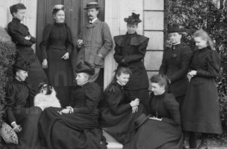
(Dillon, Nine women and one man, fashions typical of 1880’s to 1900’s, 1880-1890)

Here we see another example of the typical attire worn by women during this time period. There is very little colour to be seen in the clothing of these women with the predominant colour being black. Fashion choices were often very limited in colour and to a large extent prohibited women from exercising self-expression.

pic-4
Typical corset worn by women in 1910s America primarily designed to severely restrict the mobility of the wearer.

 (Fields, Winter, 1999)

The corset is a striking example of the way in which fashion was used to oppress women during this era. The corset, an item of clothing which was a staple in the wardrobes of the vast majority of women, was not only hugely restricting physically, preventing women free access to various public spaces, but was also an important metaphorical symbol of female subjugation. Another important feature of the corset, aside from its lack of mobility, is the time consuming process involved in removing it from the wearer. A primary reason for this is the limitation of sexual access. During this time the control of a woman’s sexuality was seen as an important measure towards controlling the woman as a whole. Corsets were a very effective manner of doing this. (Fields, Winter, 1999)

BIBLIOGRAPHY

Dillon, F. (1860-1930). [Fran… Laughing. Three quarters length portrait of woman smiling.]. Retrieved from National Library of Ireland Catalogue: http://catalogue.nli.ie/Record/vtls000523622

Dillon, F. (1880-1890). Nine women and one man, fashions typical of 1880’s to 1900’s. Retrieved from National Library of Ireland Catalogue: http://catalogue.nli.ie/Record/vtls000521434

Fields, J. (Winter, 1999). ‘Fighting the Corsetless Evil’: Shaping Corsets and Culture, 1900-1930. Journal of Social History, Vol. 33, No. 2 , pp. 355-384.

Poole, A. H. (1908, April 3). Ursuline Convent, Waterford, girls at Gymnasium. Retrieved from National Library of Ireland Catalogue: http://catalogue.nli.ie/Record/vtls000592102


Modernity and the State: Athens

Jesus Barbeito 116102411

Greece was stablished as a modern state in 1830, after the War of Independence against the Ottoman Empire. This conflict left the cities in a state of ruin. The new government started the country’s reconstruction aiming to become a civilized, modern, unitary European nation, and this national political and cultural aspirations were addressed through the planning, the architecture and the modernization of the cities.

Athens’ city plan designed by german-trained architects in 1833 embodied the image of the new state, its modern and European character, and the city became the cultural center of the nation. Through their design and symbolic impact, the new boulevards, public squares and civic buildings transformed Athens into a European-style capital. The tree-planted streets and plazas became the ground of the city’s culture, where a new European manner of dressing, living and thinking could be recognized, reflecting the national progress.

photo
Fig. 1: Photography of Panepistimiou Street from 1928 that presents the modern European sensitivity. (Source) [Full size]

The university, the academy, the library or the museum buildings symbolized the emergence of new institutions and were connected through the new wide streets with the palace and the Acropolis, that represented the tradition and the past. The Neoclassical architecture of the new constructions both strengthened ties to the classical Greek tradition and demonstrate the country’s modern European orientation. Trying to maintain a cultural continuity with a Greek past, a new cathedral was erected and the Acropolis started a process of restoration.

city1878
Fig. 2: Map of the city of Athens in 1878. Highlighted in blue, the old city, in yellow the new planning and in red the main streets, public squares and civic buildings. (Source) [Full size]

By the turn of the 20th century, Athens was transformed from a village of four thousand people into a capital of 128 thousand. The new urban spaces and architecture shaped the city and Greece’s new image; a modern European nation with cultural, political and national unity and a strong connection with its classical past. This image came to coexist, rather than replace, with that of the earlier city and its ancient roots, and this two cultural, spatial and architectural traditions are still evident today.

evolution
Fig. 3: Spatial evolution of Athens since the Greek Independence to today. The urban pattern almost hasn’t changed in the last century. (Source) [Full size]

References:

  • Bastéa, E. (1996). Etching Images on the Street. In Streets: Critical Perspectives on Public Space (pp. 111-123). University of California Press

Sources

Figure 1: Photography of Panepistimiou Street from 1928

Figure 2: Map of Athens from 1878

Figure 3.1: Map of Athens from 1837

  • Web link: http://id.lib.harvard.edu/aleph/011373901/catalog
  • Title: Plan topographique d’Athenes et de ses environs dressé au 20,000ieme
  • Scale: 1:20 000.
  • Author: Aldenhoven, Ferdinand.
  • Published: Athens : A. Forster (Lithographie royale), 1837

Figure 3.2: Map of Athens from 1878

  • See Figure 2

Figure 3.3: Map of Athens from 1920

  • Web link: http://id.lib.harvard.edu/aleph/011376648/catalog
  • Title: Athēnai kai sinoikismoi : klimax 1:8000
  • Scale: 1:8000
  • Author: Ekdotikos Chartographikos Oikos K. Grēgoura
  • Published: Athens : Ekdotikos Chartographikos Oikos K. Grēgoura, 1920

Evolution of Munich

Finbarr O’Brien 113386651

This blog entry I will discuss the evolution of the German city of Munich. I will do this through the examination of both a historical map, as well as a map depicting the city in its more recent history.

(Stockdale, 2003)

In this map, illustrating the city how it was in the year 1800, we are immediately struck by a number of striking features. One of the first things the viewer notices is the relative small size of early 1800s Munich in comparison to most modern cities. This indicates towards the fact that in this era, the majority of families were based in the countryside, a stark contrast to the predominantly city dwelling population seen in present day society. Another feature of this map that quickly grabs our attention is the large wall, which completely surrounds the outer border of the city. This wall is indicative of the relatively primitive weaponry of the times. A wall such as this would have no effect against more advanced weaponry, meaning that the implementation of a feature such as this in a modern city would be redundant.

Displaying Screenshot_20161118-072828~2.png
(Flickriver, 2012)


This map shows Munich as it was in 1930, drawn more than a century after the first map. The huge expansion of the city is highly evident when we compare the two maps. What’s more, the changing land use of major cities is illustrated when we compare the layout of Munich in the two different eras. In this map, there is much less empty space, with almost all of the city’s available land take up by either residential or industrial features. This point towards the huge increase in people choosing to live in cities as opposed to more rural areal. Other features, highly prominent in the 1800 map of Munich, such as the wall surrounding the city’s border, have long since disappeared.

BIBLIOGRAPHY

“Map of Munchen, 1800, J. Stockdale – Historic Cities.” 2003. 3 Oct. 2016 <http://historic-cities.huji.ac.il/germany/munchen/maps/stockdale_1800_munchen.html>

“München Plan 1930 – Munich Map 1930 – a photo on Flickriver.” 2012. 3 Oct. 2016 <http://www.flickriver.com/photos/isarsteve/7009350793/>


Blog 1: Formation of New York City

Daniel Cremen – 115140221

New York is city which has been formed from its early existence through rapid growth of immigrants from Europe and worldwide since the 17th century. Significant changes came in the 19th century though when it started to become a major player in the trade industry when raw materials for textile production were shipped out from the docks to Europe where they would be manufactured and then sent back to the United States. The growing trade business was hindered by the lack of a viable trade route from where the raw materials were being extracted to the docklands where they were shipped out. A canal was created which pushed the city on to be the one of the biggest trading places in the whole country. This shaped how the city formed.

With the increasing growth of population a plan was developed in 1811 which would see the city divided into a grid system. This is a good example of how early modernity was influencing and shaping the city as it stands today.


new-york-c19

(figure 1: New York, 1851, John Tallis, 19th-Century City Plan. source: Montgomery Martin, R., The Illustrated Atlas, And Modern History Of The World, (London) 1851. – See more at: http://www.geographicus.com/P/AntiqueMap/NewYork-tallis-1851#sthash.wSAA4LoX.dpuf)


Other cities such as London and Paris had started to produce public spaces, parks and gardens and New York closely followed suit. The wealthy merchants in New York felt that they needed a public open space to cement international status. They felt that the park would facilitate activities for both the working class and the wealthy ‘important’ merchants.

proper

(figure 2: ‘Central Park’ source: Geographicus Rare Antique Map. artist:  http://www.geographicus.com/mm5/cartographers/sarony.txt)

In 1853 there was permission from the state legislature to go ahead and find and get the 700 acre space wanted for this park.  Unlike other public spaces around the globe at this time the terrain for this public space was the opposite but yet they still help the same value for the people living in the city. It made both the powerful and wealthy happy but also gave regular working class people a space to socialise and do activities.

References:

Centralpark.com. (2016). Central Park History. [online] Available at: http://www.centralpark.com/guide/history.html [Accessed 1 Oct. 2016].

HISTORY.com. (2016). New York City – Facts & Summary – HISTORY.com. [online] Available at: http://www.history.com/topics/new-york-city [Accessed 1 Oct. 2016].